Ramble and Recharge: Navigating Padstow’s trails

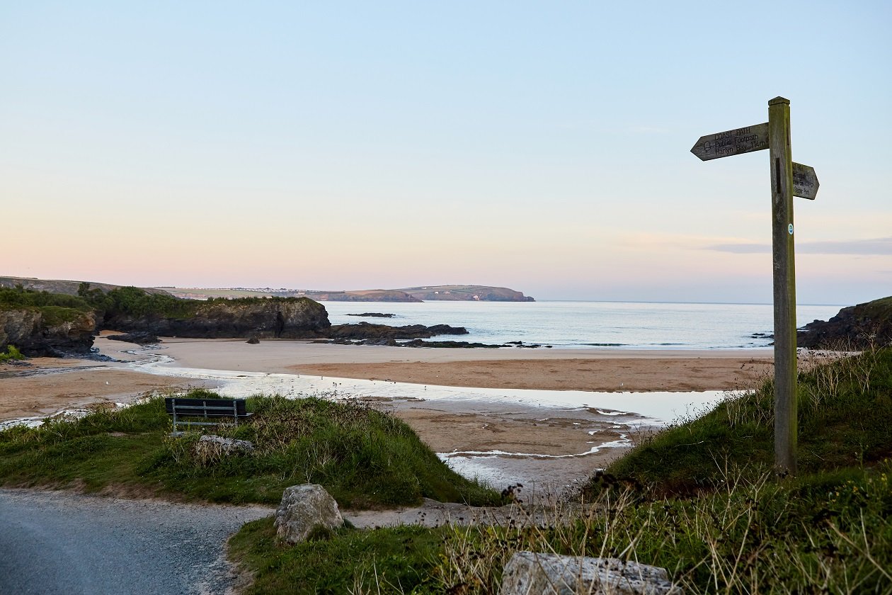
The North Cornwall coast offers dramatic views, plenty of fresh air, soothing sounds and a sense of calm. Whether it’s a secluded beach or a well trodden coast path, no two days are the same here, you’ll find feeding shore birds, bobbing seals and changing weathers.
Safety is crucial for a relaxing experience so please pay attention while walking near cliffs and on uneven ground.
Walking Checklist
- Waterproof clothing
- Phone
- Walking boots
- Backpack
- Snacks
- Bottle of water
Padstow‘s coastal walks
To us, wellbeing is all about balance. We love blustery walks on the beach, fresh fish, cooked simply and taking the time to relax.
We’re lucky to live in beautiful North Cornwall, where we can cycle the camel trail and swim in the Atlantic ocean but our favourite way to get moving all year round is by getting our walking boots on and enjoying the views from our awe inspiring coastline. We’ve picked out four of our favourite walks starting in and around Padstow for you to enjoy.
Whether you’re a wild rambler or just love a stroll to clear your head, Cornwall’s varied landscape is best explored on foot.
PADSTOW CIRCULAR WALK VIA CRUGMEER, TREVONE & STEPPER POINT
Estimated time: 3 hours 15 (7 miles)
Starting point: PL28 8BY

Start your walk from the northern end of the harbour, keep left up a well-trodden, footpath marked by the acorn symbol of the coastal footpath – this symbol will be your guide until Trevone Bay.
Follow the footpath until you pass the war memorial, then take a sharp left and head up hill through the field (marked by a wooden footpath sign). At the end of the track turn right and follow the lane for about 400m. Follow the footpath sign and steps through the hedge on the left and cross the field diagonally. Cross the stone stile before the gateway on your left and cross the field diagonally. Cross straight over the next small field again on the diagonal. Head for the buildings over the next field. There are now two more fields to cross before reaching a track which leads to the settlement of Crugmeer.
Turn left along the road for a very short distance and you will come to a staggered crossroads, you need to go right and then immediately left down a road/farm track leading towards some old huts.
Pass through the gate by these and continue along the track which zigzags before passing in front of Porthmissen Farm. It then drops steeply to reach Trevone Bay. Take the coastal path (right) which climbs to the clifftop, with the remarkable Round Hole on the right.
There are good views westwards to Trevose Head from here. A steep climb leads to the cliffs above the pinnacle. Gulland Rock is offshore to the left and as the path nears Gunver Head another group of rocks known as King Phillip appears ahead of Pentire Head. The tower on Stepper Point comes into view.
Continue past the Pepper Pot on Stepper Point, and stay on the coastal footpath as it goes downhill. The path now follows the shore of the estuary. At Hawker’s Cove it is possible to cut a corner by crossing the sands, but be warned that the tide comes in quickly. After the inlet the view of the River Camel ahead is stunning. If the tide is out then walk along the beach, rather than on the low cliffs. Follow the coastal path until you reach the War Memorial again and then follow the path back to Padstow harbour.
LITTLE PETHERICK CREEK, DENNIS HILL AND THE CAMEL TRAIL
Estimated time: 2 hours 30 (6 miles)
Starting point: PL27 7QL

For this walk take a short car ride to Little Petherick or start in Padstow and walk to it via the Camel Trail.
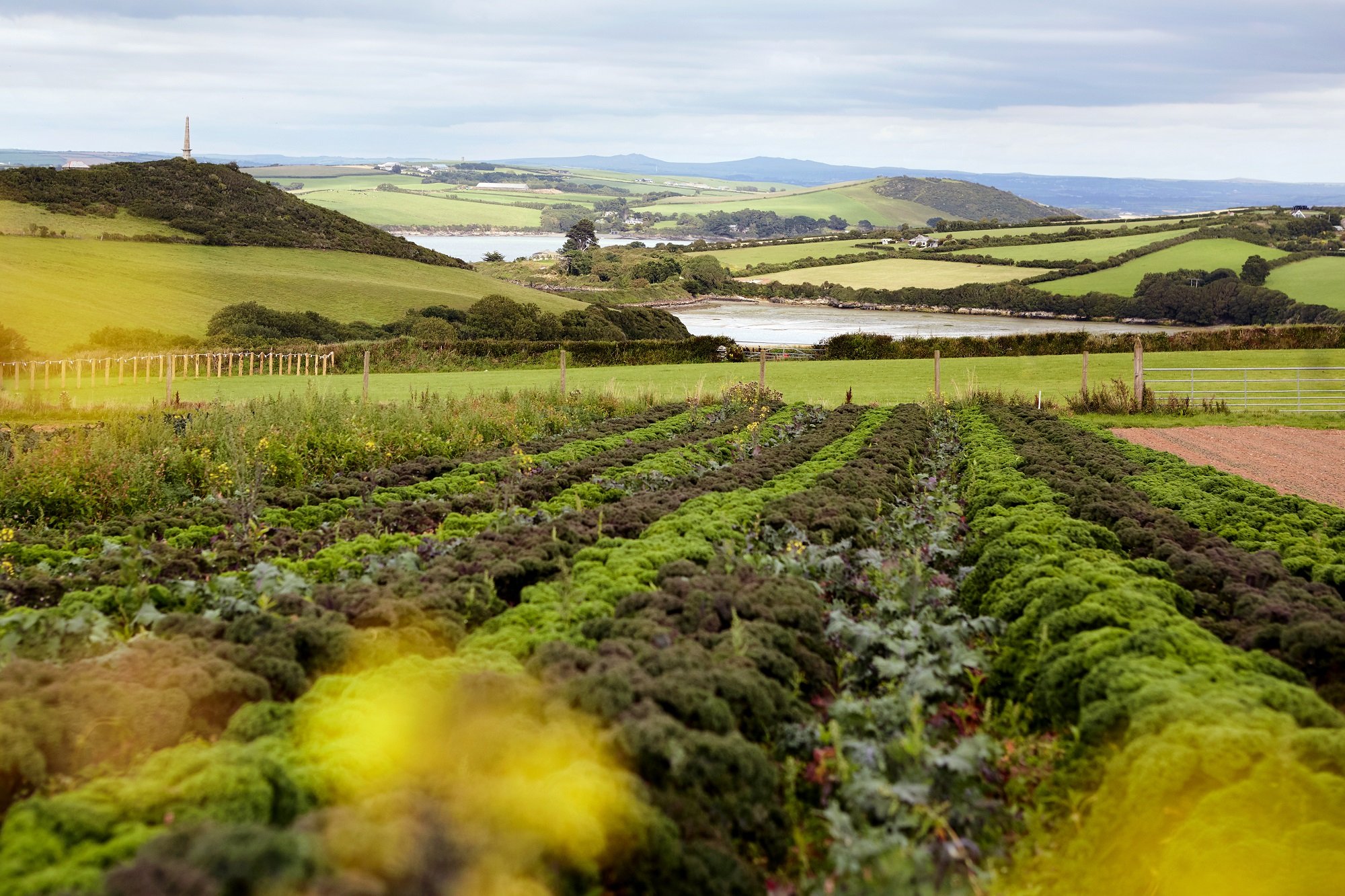
From the car park in Little Petherick turn right to walk down the creek along a drive to some holiday chalets. Once you have passed these the path climbs above the creek through trees. A stile takes the path out of the wood and into a meadow. Follow the Saints’ Way sign with the wall on the left until at the top of the hill where you will see an avenue of ash trees on the right. This leads down to the river. Cross the inlet by the footbridge and then climb up again on the other side. At the top there is a fine view to the River Camel, with the monument on Dennis Hill prominent.
Keep the river on the right, heading for the monument. When you come to a stile, do not cross it but instead turn right and make your way towards a wooden post which stands near steps leading to the bottom of an inlet. Having skirted the head of the small creek climb up the side of the valley again to reach a meadow.
The obelisk can be clearly seen now; climb to the top of the meadow to reach it. Returning from the short path that leads to the monument, follow the left edge of the field to reach a gate and concrete stile at the bottom. Turn left and then right onto a made-up road through Dennis Cove Leisure Park. A footpath leads through the leisure park, to the left of a small lake, to reach the old railway track which is known as the Camel Trail. Turn left on the trail to head back into Padstow or right to continue on the walk. To return to Little Petherick, cross the railway bridge over the creek and follow the trail by the side of the River Camel to a bridge over Old Town Creek. Having crossed this, leave the Camel Trail and climb a track which becomes a lane at the top. Turn right here and after the turn to Trevilgus look for a footpath heading towards St Issey church on the left.
The St Issey footpath crosses four fields directly. Use the stepping-stones to cross the stream and then head uphill crossing a field to find a stile. Head for the top right-hand corner of the next field to reach the lane. Cross this and climb up the steps into another field. Continue heading for St Issey church, now that you can see it again, crossing a stream and then a stone stile on the right-hand side of the following field. The path emerges onto the main road opposite the church, with the Ring O’Bells pub on the right.
Leave the church on its south side (by the school) and turn right into the lane. Take the path on the left through the farmyard. After the farmyard keep the hedge on the right to pass through a gate at the narrow end of an abutting field. Now keep the hedge on the right again heading steeply down to a bridge and stepping stones at the bottom. Climb to a stile in the wall on the right and walk through an abandoned farmyard to reach the lane at Higher Melingey. Turn right down this and after the Mill take the path on the left which follows the valley to emerge on the main road above Little Petherick.
PADSTOW CIRCULAR VIA HAWKER’S COVE
Estimated time: 1 hours 45 (4 miles)
Starting point: PL28 8BY
To start your walk head for the northern end of the harbour, keep left up a well-trodden, wide footpath marked by the acorn symbol of the coastal footpath – this symbol will be your guide until Hawker’s Cove. From here walk to the car park and near Lellizzick walk back onto the lane, turn right, and after about 100m take the path leading off through the gate on the left. Follow the track around the edge of the fields.
When you reach a gateway, branch off left towards the cliff top (unfenced, so take care of children and dogs); where close to Butter Hole you join the coastal path. Following the coastal path to the right, the path leads along the cliffs to the Pepper Pot – erected to help mariners find the entrance to the Camel Estuary.
Pass through the gap in the wall just inland of the Pepper Pot and cross the field to reach the lookout hut, Stepper Point, manned by volunteers of the National Coastwatch Institute. From the lookout station a grass track leads back along the ridge and will bring you back to Butter Hole and the Hawker’s Cove car park. From here retrace your steps along the coastal footpath back to Padstow.
PADSTOW TO POLZEATH VIA ROCK AND ST ENODOC CHURCH
Estimated time: 1 hours 30 (3+ miles)
Starting point: PL28 8BY
To start your walk head for the northern end of the harbour to the ferry dock. Take the ferry from Padstow to Rock. Turn left onto the coastal footpath that runs along the dunes of Rock to Daymer Bay.
After little more than half a mile you will see a path that takes you round the right-hand side of a steep hillock called Brea Hill. Carry on for another half mile to where the path splits which will take you to Grade I listed, St Enodoc Church in the sand dunes and where the late Poet Laureate Sir John Betjeman lies buried. Take the left fork at the church, this will take you to Daymer Bay car park where, if stood looking at the beach, you can follow a coastal path around to the right which will lead you on to Polzeath.
To get back to Padstow simply follow the coastal path back to Daymer Bay and walk back across the beach to Rock and the ferry crossing.
If you are walking with your dog, please keep them on a lead as these walks are close to unfenced cliff edges.
